Don’t risk missing elements by restricting your view to ground-level.
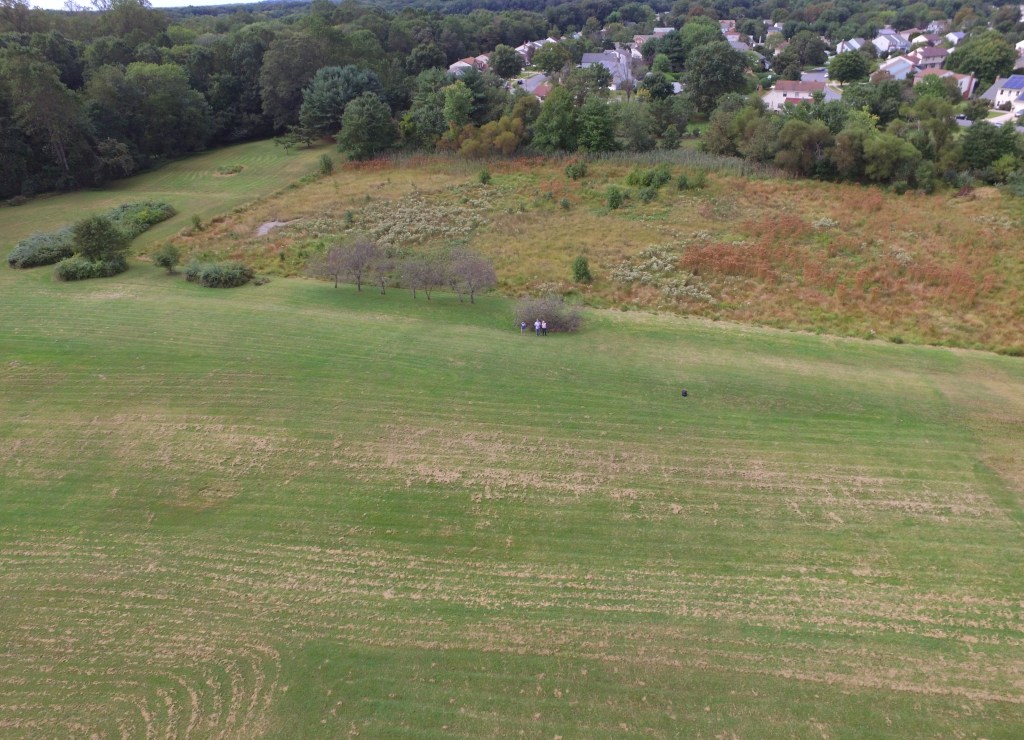
FAA Licensed Drone Pilot providing remote aerial photography for property evaluation, structure inspection, landscape analysis, real estate inventory, and much more
Don’t risk missing elements by restricting your view to ground-level.
